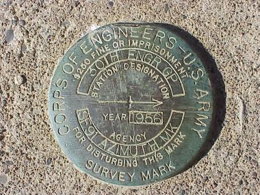
SF-91C Mt. LivermoreN 37.86150°, W 122.43097°, elevation 765 feet |
|
SF-91C Mt. LivermoreN 37.86150°, W 122.43097°, elevation 765 feet |
|
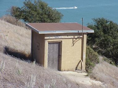
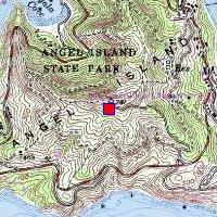
The IFC was at the high point of Angel Island, named Mt. Caroline Livermore.
Three concrete pads and the guard shack remain.
In 2002 the park service restored the mountain to its original
shape, removing the Nike road and raising the peak by 19 feet,
but the pads were retained.
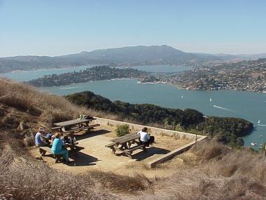
Access: one of
two
ferrys to
Angel Island;
three different trails lead to the top.