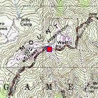
SF-90DC Mt. TamalpiasN 37.92305°, W 122.60067°, elevation 2366 feet |
|
SF-90DC Mt. TamalpiasN 37.92305°, W 122.60067°, elevation 2366 feet |
|
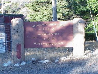
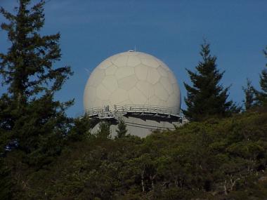
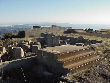
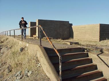
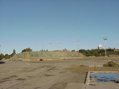
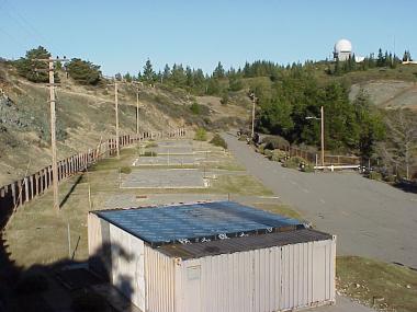
No launch site, this was just a massive radar installation on the west peak
of the mountain.
It's still in use by the FAA.
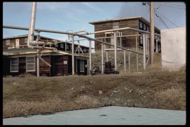
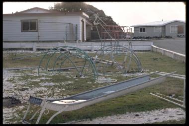
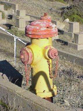
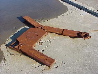
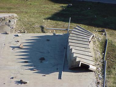
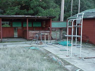
The barracks and most of the housing on the west peak were demolished
a few years ago.
Access: shortly before the road up Mt. Tam gets to the top, there's a
big gate on the north side.
Here's a link to some
historic photos
of the site, and some
more recent photos.